 vesseltracker.com
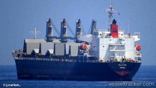
Vessel Irma S IMO: 9385063, MMSI: 636018910 General Cargo Ship
UTC, 34.04972, 33.65349, course: 90, speed: 13.8
UTC, 34.59338, 33.69014, course: 345, speed: 12.7
2026-03-17 04:24:34 UTC, 34.90828, 33.69174, course: 325, speed: 9.5
Live Vessel Irma S Analytics (details, animations, etc.)
Live AIS position: UTC. Near Larnaca), updated 2026-03-17 04:24:34 UTC.Find the position of the vessel Irma S on the map. The latter are known coordinates and path.
marine traffic ship tracker show on live map
The current position of vessel Irma S is 34.90828 lat / 33.69174 lng. Updated: 2026-03-17 04:24:34 UTCDetails:
Last coordinates of the vessel:
UTC, 33.91249, 33.11719, course: 89, speed: 12.7UTC, 34.04972, 33.65349, course: 90, speed: 13.8
UTC, 34.59338, 33.69014, course: 345, speed: 12.7
2026-03-17 04:24:34 UTC, 34.90828, 33.69174, course: 325, speed: 9.5