 vesseltracker.com
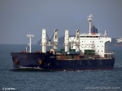
Vessel Iron Lady V IMO: 9445681, MMSI: 353211000 Bulk Carrier
UTC, -18.93384, 58.54255, course: 242, speed: 11.8
UTC, -19.12117, 58.17705, course: 243, speed: 11.2
2026-02-24 19:23:31 UTC, -19.25986, 57.91055, course: 246, speed: 11.8
Live AIS position:
UTC. 47 nm N of Cap Malheureux),
updated 2026-02-24 19:23:31 UTC.
Find the position of the vessel Iron Lady V on the map. The latter are known coordinates and path.
marine traffic ship tracker show on live map
The current position of vessel Iron Lady V is -19.25986 lat / 57.91055 lng. Updated: 2026-02-24 19:23:31 UTCCurrently sailing under the flag of Panama
Iron Lady V built in 2011 year
Deadweight:
57295 tDetails:
Last coordinates of the vessel:
UTC, -18.81700, 58.76958, course: 240, speed: 11.9UTC, -18.93384, 58.54255, course: 242, speed: 11.8
UTC, -19.12117, 58.17705, course: 243, speed: 11.2
2026-02-24 19:23:31 UTC, -19.25986, 57.91055, course: 246, speed: 11.8