 vesseltracker.com
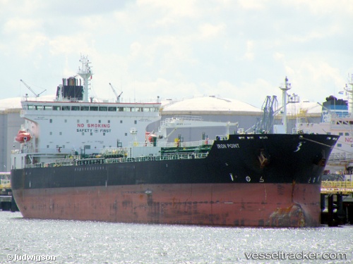
Vessel JOHNNY RANGER IMO: 9388209, MMSI: 636021509 Chemical/Oil Products Tanker
UTC, 28.86756, -89.33913, course: 344, speed: 0.3
UTC, 28.86751, -89.33906, course: -1, speed: 0.3
2026-03-17 03:20:53 UTC, 28.86759, -89.33969, course: -1, speed: 0.1
Live Vessel JOHNNY RANGER Analytics (details, animations, etc.)
Live AIS position: UTC. Near Southwest Pass), updated 2026-03-17 03:20:53 UTC.Find the position of the vessel JOHNNY RANGER on the map. The latter are known coordinates and path.
marine traffic ship tracker show on live map
The current position of vessel JOHNNY RANGER is 28.86759 lat / -89.33969 lng. Updated: 2026-03-17 03:20:53 UTCCurrently sailing under the flag of Liberia
JOHNNY RANGER built in 2008 year
Deadweight:
50922 tDetails:
Last coordinates of the vessel:
UTC, 28.83156, -89.35850, course: 25, speed: 3.2UTC, 28.86756, -89.33913, course: 344, speed: 0.3
UTC, 28.86751, -89.33906, course: -1, speed: 0.3
2026-03-17 03:20:53 UTC, 28.86759, -89.33969, course: -1, speed: 0.1