 vesseltracker.com
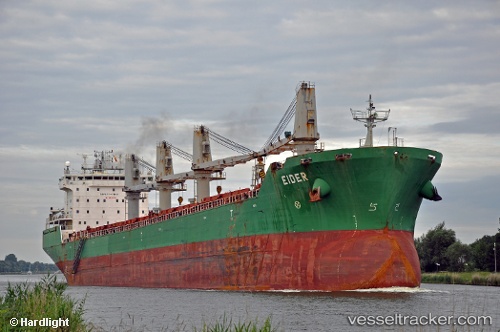
Vessel SOLARA IMO: 9285938, MMSI: 314167000 Bulk Carrier
UTC, 51.33019, 3.81879, course: 158, speed: 0
UTC, 51.30269, 3.83832, course: 317, speed: 0
2026-02-25 14:18:05 UTC, 51.30270, 3.83835, course: 317, speed: 0
Live AIS position:
UTC. Near SLUISKIL),
updated 2026-02-25 14:18:05 UTC.
Find the position of the vessel SOLARA on the map. The latter are known coordinates and path.
marine traffic ship tracker show on live map
The current position of vessel SOLARA is 51.30270 lat / 3.83835 lng. Updated: 2026-02-25 14:18:05 UTCCurrently sailing under the flag of Barbados
Details:
Last coordinates of the vessel:
UTC, 51.42671, 3.57735, course: 80, speed: 4.7UTC, 51.33019, 3.81879, course: 158, speed: 0
UTC, 51.30269, 3.83832, course: 317, speed: 0
2026-02-25 14:18:05 UTC, 51.30270, 3.83835, course: 317, speed: 0