 vesseltracker.com
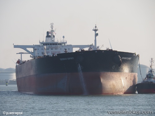
Vessel BLUE IMO: 9236353, MMSI: 613414602 Crude Oil Tanker
UTC, 55.32565, 11.02991, course: 177, speed: 12.5
UTC, 55.01228, 11.02184, course: 190, speed: 13.2
2026-02-25 10:05:37 UTC, 54.63700, 11.03022, course: 121, speed: 12.8
Live AIS position:
UTC. Near Dannemare),
updated 2026-02-25 10:05:37 UTC.
Find the position of the vessel BLUE on the map. The latter are known coordinates and path.
marine traffic ship tracker show on live map
The current position of vessel BLUE is 54.63700 lat / 11.03022 lng. Updated: 2026-02-25 10:05:37 UTCCurrently sailing under the flag of Cameroon
Details:
Last coordinates of the vessel:
UTC, 55.75640, 10.79972, course: 191, speed: 12.3UTC, 55.32565, 11.02991, course: 177, speed: 12.5
UTC, 55.01228, 11.02184, course: 190, speed: 13.2
2026-02-25 10:05:37 UTC, 54.63700, 11.03022, course: 121, speed: 12.8