 vesseltracker.com
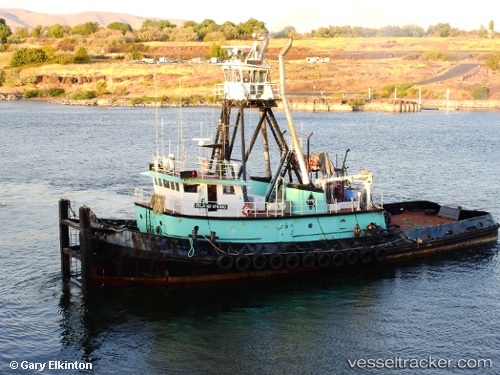
Vessel Island Viking IMO: 7609843, MMSI: 368637000 Pusher Tug
UTC, 47.66465, -122.39218, course: 99, speed: 0
UTC, 47.68663, -122.24139, course: 326, speed: 7.6
2026-03-17 03:40:03 UTC, 47.75711, -122.25592, course: 328, speed: 0.5
Live Vessel Island Viking Analytics (details, animations, etc.)
Live AIS position: UTC. Near Kenmore/Seattle), updated 2026-03-17 03:40:03 UTC.Find the position of the vessel Island Viking on the map. The latter are known coordinates and path.
marine traffic ship tracker show on live map
The current position of vessel Island Viking is 47.75711 lat / -122.25592 lng. Updated: 2026-03-17 03:40:03 UTCDetails:
Last coordinates of the vessel:
UTC, 47.67925, -122.41974, course: 103, speed: 5.8UTC, 47.66465, -122.39218, course: 99, speed: 0
UTC, 47.68663, -122.24139, course: 326, speed: 7.6
2026-03-17 03:40:03 UTC, 47.75711, -122.25592, course: 328, speed: 0.5