 vesseltracker.com
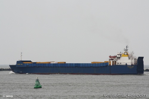
Vessel Istanbul N IMO: 7816496, MMSI: 271040024 Ro Ro Cargo Ship
Live AIS position:
UTC. Near TUZLA),
updated 2025-05-27 17:04:06 UTC.
Find the position of the vessel Istanbul N on the map. The latter are known coordinates and path.
marine traffic ship tracker show on live map
The current position of vessel Istanbul N is 40.83605 lat / 29.27480 lng. Updated: 2025-05-27 17:04:06 UTCCurrently sailing under the flag of Turkey
Istanbul N built in 1980 year
Deadweight:
4550 tDetails:
Last coordinates of the vessel:
2025-05-27 17:04:06 UTC, 40.83605, 29.27480, course: -1, speed: 0.1