 vesseltracker.com
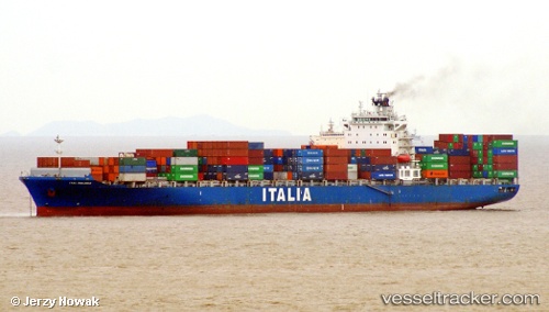
Vessel NEWNEW PANDA 1 IMO: 9315965, MMSI: 477909800 Container Ship
UTC, 14.19918, 112.34549, course: 210, speed: 10.3
UTC, 14.19918, 112.34549, course: 210, speed: 10.3
2026-02-24 20:13:02 UTC, 12.20965, 111.25586, course: 206, speed: 11.5
Live AIS position:
UTC. 112 nm E of Dam Mon),
updated 2026-02-24 20:13:02 UTC.
Find the position of the vessel NEWNEW PANDA 1 on the map. The latter are known coordinates and path.
marine traffic ship tracker show on live map
The current position of vessel NEWNEW PANDA 1 is 12.20965 lat / 111.25586 lng. Updated: 2026-02-24 20:13:02 UTCCurrently sailing under the flag of Hong Kong
Details:
Last coordinates of the vessel:
UTC, 14.19918, 112.34549, course: 210, speed: 10.3UTC, 14.19918, 112.34549, course: 210, speed: 10.3
UTC, 14.19918, 112.34549, course: 210, speed: 10.3
2026-02-24 20:13:02 UTC, 12.20965, 111.25586, course: 206, speed: 11.5