 vesseltracker.com
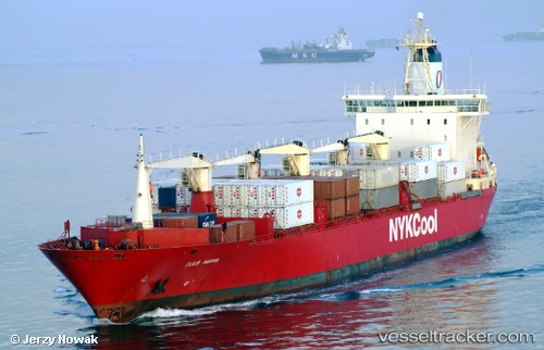
Vessel Ivar Reefer IMO: 8819938, MMSI: 311062300 Refrigerated Cargo Ship
UTC, -19.97792, 35.13739, course: 227, speed: 0.2
UTC, -19.97500, 35.13500, course: -1, speed: 0
2026-02-22 11:49:18 UTC, -19.97708, 35.13468, course: 138, speed: 0.1
Live AIS position:
UTC. 20 nm SE of Beira),
updated 2026-02-22 11:49:18 UTC.
Find the position of the vessel Ivar Reefer on the map. The latter are known coordinates and path.
marine traffic ship tracker show on live map
The current position of vessel Ivar Reefer is -19.97708 lat / 35.13468 lng. Updated: 2026-02-22 11:49:18 UTCCurrently sailing under the flag of Bahamas
Ivar Reefer built in 1990 year
Deadweight:
16950 tDetails:
Last coordinates of the vessel:
UTC, -19.97832, 35.13732, course: 237, speed: 0.1UTC, -19.97792, 35.13739, course: 227, speed: 0.2
UTC, -19.97500, 35.13500, course: -1, speed: 0
2026-02-22 11:49:18 UTC, -19.97708, 35.13468, course: 138, speed: 0.1