 vesseltracker.com
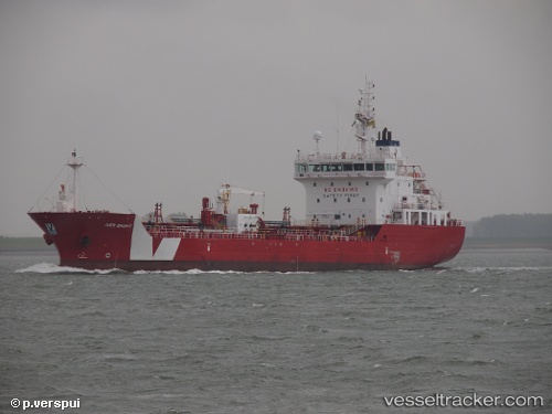
Vessel Iver Bright IMO: 9616759, MMSI: 244283000 Bitumen Tanker
UTC, 42.30239, -83.08901, course: 35, speed: 0.1
UTC, 42.30239, -83.08903, course: 34, speed: 0
2026-02-25 13:33:01 UTC, 42.40235, -82.84445, course: 48, speed: 9.3
Live AIS position:
UTC. Near Grosse Ponte Farms),
updated 2026-02-25 13:33:01 UTC.
Find the position of the vessel Iver Bright on the map. The latter are known coordinates and path.
marine traffic ship tracker show on live map
The current position of vessel Iver Bright is 42.40235 lat / -82.84445 lng. Updated: 2026-02-25 13:33:01 UTCCurrently sailing under the flag of Netherlands
Iver Bright built in 2012 year
Deadweight:
6265 tDetails:
Last coordinates of the vessel:
UTC, 42.30242, -83.08903, course: 35, speed: 0UTC, 42.30239, -83.08901, course: 35, speed: 0.1
UTC, 42.30239, -83.08903, course: 34, speed: 0
2026-02-25 13:33:01 UTC, 42.40235, -82.84445, course: 48, speed: 9.3