 vesseltracker.com
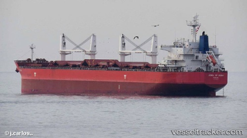
Vessel Ivy Blue IMO: 9419943, MMSI: 538007552 Bulk Carrier
Live AIS position:
UTC. 261 nm N of Dumont d'Urville Station),
updated 2026-01-18 09:57:52 UTC.
Find the position of the vessel Ivy Blue on the map. The latter are known coordinates and path.
marine traffic ship tracker show on live map
The current position of vessel Ivy Blue is -62.29834 lat / 139.76514 lng. Updated: 2026-01-18 09:57:52 UTCDetails:
Last coordinates of the vessel:
2026-01-18 09:57:52 UTC, -62.29834, 139.76514, course: 35, speed: 9.6