 vesseltracker.com
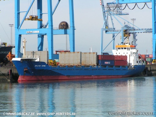
Vessel JOE 1 IMO: 8714114, MMSI: 671319100 Container Ship
UTC, 32.06359, 29.11910, course: 314, speed: 7.4
UTC, 32.35837, 28.91298, course: 317, speed: 7.2
2026-01-31 03:43:55 UTC, 32.50447, 28.81594, course: 319, speed: 7.2
Live AIS position:
UTC. 92 nm N of Hamra),
updated 2026-01-31 03:43:55 UTC.
Find the position of the vessel JOE 1 on the map. The latter are known coordinates and path.
marine traffic ship tracker show on live map
The current position of vessel JOE 1 is 32.50447 lat / 28.81594 lng. Updated: 2026-01-31 03:43:55 UTCCurrently sailing under the flag of Togo
JOE 1 built in 1989 year
Deadweight:
5500 tDetails:
Last coordinates of the vessel:
UTC, 31.89757, 29.25629, course: 316, speed: 6.4UTC, 32.06359, 29.11910, course: 314, speed: 7.4
UTC, 32.35837, 28.91298, course: 317, speed: 7.2
2026-01-31 03:43:55 UTC, 32.50447, 28.81594, course: 319, speed: 7.2