 vesseltracker.com
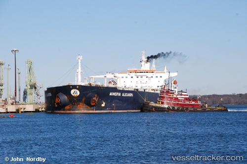
Vessel JOEL IMO: 9198094, MMSI: 750931000 Crude Oil Tanker
UTC, 2.05662, 104.85343, course: 1, speed: 0
UTC, 2.05663, 104.85354, course: 358, speed: 0
2026-01-30 20:24:52 UTC, 2.05663, 104.85354, course: 0, speed: 0
Live AIS position:
UTC. 60 nm NE of PENGERANG),
updated 2026-01-30 20:24:52 UTC.
Find the position of the vessel JOEL on the map. The latter are known coordinates and path.
marine traffic ship tracker show on live map
The current position of vessel JOEL is 2.05663 lat / 104.85354 lng. Updated: 2026-01-30 20:24:52 UTCCurrently sailing under the flag of Guyana
JOEL built in 2000 year
Deadweight:
104643 tDetails:
Last coordinates of the vessel:
UTC, 2.05665, 104.85340, course: 2, speed: 0UTC, 2.05662, 104.85343, course: 1, speed: 0
UTC, 2.05663, 104.85354, course: 358, speed: 0
2026-01-30 20:24:52 UTC, 2.05663, 104.85354, course: 0, speed: 0