 vesseltracker.com
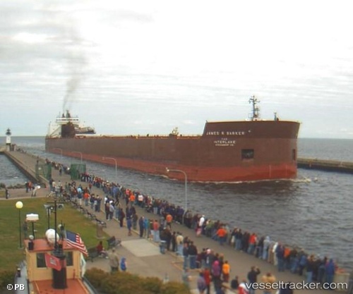
Vessel James R Barker IMO: 7390260, MMSI: 366905890 Self Discharging Bulk Carrier
Live AIS position:
UTC. 12 nm NE of Brussels),
updated 2026-02-20 14:13:04 UTC.
Find the position of the vessel James R Barker on the map. The latter are known coordinates and path.
marine traffic ship tracker show on live map
The current position of vessel James R Barker is 44.83820 lat / -87.38510 lng. Updated: 2026-02-20 14:13:04 UTCDetails:
Last coordinates of the vessel:
2026-02-20 14:13:04 UTC, 44.83820, -87.38510, course: 345, speed: 0