 vesseltracker.com
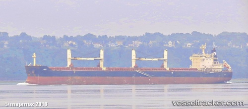
Find the position of the vessel Jay on the map. The latter are known coordinates and path.
marine traffic ship tracker show on live map
The current position of vessel Jay is 40.4208 lat / 26.8281 lng. Updated: 2024-11-05 18:24:52 UTCPort of registry:
Majuro (coral atoll, capital of the Marshall Islands)Payload_mass:
57809 tonneGross tonnage:
33045Service entry:
2010-01-01T00:00:00ZManufacturer:
Yangzhou Binjiang Shipbuilding (Chinese shipyard)Details:
Last coordinates of the vessel:
UTC, 40.4209, 26.8283, course: 73, speed: 0.6UTC, 40.4212, 26.828, course: 77, speed: 0.6
UTC, 40.4208, 26.8281, course: 40, speed: 0.3
2024-11-05 18:24:52 UTC, 40.4208, 26.8281, course: 40, speed: 0.3