 vesseltracker.com
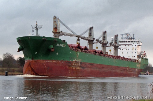
Vessel Johanna G IMO: 9285940, MMSI: 255806117 Bulk Carrier
UTC, 36.40519, 16.07638, course: 264, speed: 8.1
UTC, 36.36528, 15.67616, course: 266, speed: 9.9
2026-01-29 19:38:17 UTC, 36.33794, 15.43403, course: 264, speed: 10.1
Live AIS position:
UTC. Near Villafranca Tirrena),
updated 2026-01-29 19:38:17 UTC.
Find the position of the vessel Johanna G on the map. The latter are known coordinates and path.
marine traffic ship tracker show on live map
The current position of vessel Johanna G is 36.33794 lat / 15.43403 lng. Updated: 2026-01-29 19:38:17 UTCCurrently sailing under the flag of Portugal
Johanna G built in 2004 year
Deadweight:
37193 tDetails:
Last coordinates of the vessel:
UTC, 36.33974, 16.39515, course: 305, speed: 4.5UTC, 36.40519, 16.07638, course: 264, speed: 8.1
UTC, 36.36528, 15.67616, course: 266, speed: 9.9
2026-01-29 19:38:17 UTC, 36.33794, 15.43403, course: 264, speed: 10.1