vessel John J Boland IMO: 7318901, Self Discharging Bulk Carrier
Vessel John J Boland IMO: 7318901, Self Discharging Bulk Carrier
MMSI: 366938780 callsign: WZE4539 size: 203x12

Find the position of the vessel John J Boland on the map. The latter are known coordinates and path.

marine traffic ship tracker show on live map

The current position of vessel John J Boland is 45.3383 lat / -87.1317 lng. Updated: 2024-04-29 11:27:44 UTC

Currently sailing under the flag of USA

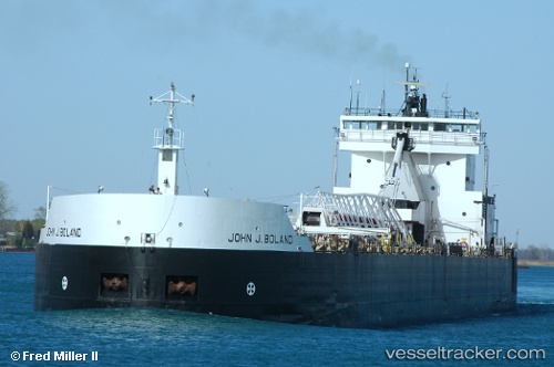
John J Boland built in 1973 year

Port of registry:
Wilmington (city in and county seat of New Castle County, Delaware, United States)
Deadweight:
33438 t

Gross tonnage:
13862
Service entry:
1973-01-01T00:00:00Z

Manufacturer:
Bay Shipbuilding Company (shipyard and dry dock company in Sturgeon Bay, Door County, Wisconsin)

Details:


Last coordinates of the vessel:
UTC, 45.0353, -87.4609, course: 11, speed: 12.3
UTC, 45.1642, -87.4402, course: 356, speed: 12.5
UTC, 45.3333, -87.145, course: -1, speed: 12
2024-04-29 11:27:44 UTC, 45.3383, -87.1317, course: -1, speed: 12

Track of the vessel in the last 14 days


Most frequent ports a vessels calls at John J Boland (366938780):


Link to the map:


Find another ship

John_J_Boland (366938780) last ports (portcalls and passsages)