 vesseltracker.com
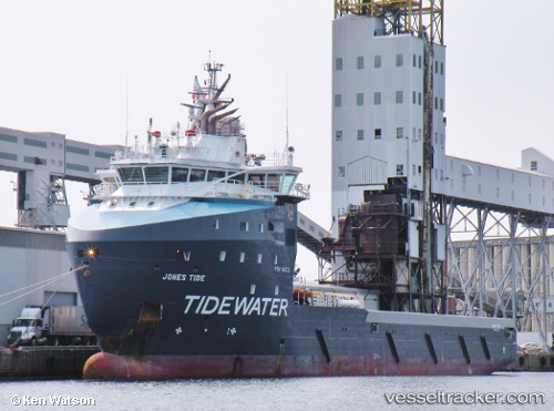
Vessel Jones Tide IMO: 9697052, MMSI: 577242000 Offshore Tug Supply Ship
Live AIS position:
UTC. Near WALVIS BAY),
updated 2023-01-10 18:42:29 UTC.
Find the position of the vessel Jones Tide on the map. The latter are known coordinates and path.
marine traffic ship tracker show on live map
The current position of vessel Jones Tide is -22.94382 lat / 14.50124 lng. Updated: 2023-01-10 18:42:29 UTCDetails:
Last coordinates of the vessel:
2023-01-10 18:42:29 UTC, -22.94382, 14.50124, course: 312, speed: 0