 vesseltracker.com
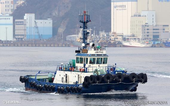
Vessel Jonghap No 36 IMO: 9812652, MMSI: 440909000 Tug
UTC, 35.07777, 128.78432, course: 78, speed: 0
UTC, 35.07781, 128.78429, course: 79, speed: 0
2026-01-28 21:32:06 UTC, 35.07336, 128.77562, course: 285, speed: 0.4
Live AIS position:
UTC. Near BUSAN NEW PORT),
updated 2026-01-28 21:32:06 UTC.
Find the position of the vessel Jonghap No 36 on the map. The latter are known coordinates and path.
marine traffic ship tracker show on live map
The current position of vessel Jonghap No 36 is 35.07336 lat / 128.77562 lng. Updated: 2026-01-28 21:32:06 UTCCurrently sailing under the flag of Korea
Details:
Last coordinates of the vessel:
UTC, 35.07777, 128.78432, course: 78, speed: 0.1UTC, 35.07777, 128.78432, course: 78, speed: 0
UTC, 35.07781, 128.78429, course: 79, speed: 0
2026-01-28 21:32:06 UTC, 35.07336, 128.77562, course: 285, speed: 0.4