 vesseltracker.com
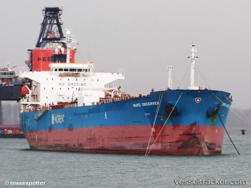
Vessel Joyce IMO: 9338814, MMSI: 538007197 Oil Products Tanker
UTC, 34.52103, 24.60018, course: 274, speed: 8.7
UTC, 34.53171, 24.08307, course: 275, speed: 9.8
2026-01-28 05:52:49 UTC, 34.53576, 23.69860, course: 273, speed: 10.5
Live AIS position:
UTC. 28 nm SW of Gavdos Chanea),
updated 2026-01-28 05:52:49 UTC.
Find the position of the vessel Joyce on the map. The latter are known coordinates and path.
marine traffic ship tracker show on live map
The current position of vessel Joyce is 34.53576 lat / 23.69860 lng. Updated: 2026-01-28 05:52:49 UTCDetails:
Last coordinates of the vessel:
UTC, 34.51754, 24.73359, course: 272, speed: 8UTC, 34.52103, 24.60018, course: 274, speed: 8.7
UTC, 34.53171, 24.08307, course: 275, speed: 9.8
2026-01-28 05:52:49 UTC, 34.53576, 23.69860, course: 273, speed: 10.5