 vesseltracker.com
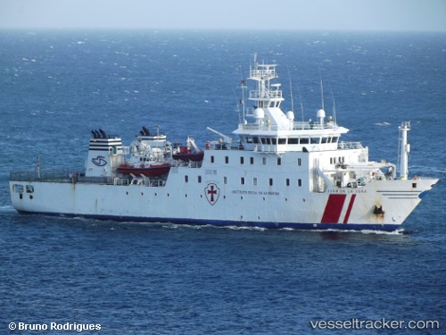
Vessel Juan De La Cosa IMO: 9328156, MMSI: 224612000 Hospital Vessel
UTC, 42.23092, -8.73707, course: 296, speed: 0.1
UTC, 42.23090, -8.73708, course: 295, speed: 0.1
2026-01-27 23:42:24 UTC, 42.23094, -8.73708, course: 297, speed: 0
Live AIS position:
UTC. Near Vigo),
updated 2026-01-27 23:42:24 UTC.
Find the position of the vessel Juan De La Cosa on the map. The latter are known coordinates and path.
marine traffic ship tracker show on live map
The current position of vessel Juan De La Cosa is 42.23094 lat / -8.73708 lng. Updated: 2026-01-27 23:42:24 UTCCurrently sailing under the flag of Spain
Juan De La Cosa built in 2006 year
Details:
Last coordinates of the vessel:
UTC, 42.23090, -8.73707, course: 295, speed: 0UTC, 42.23092, -8.73707, course: 296, speed: 0.1
UTC, 42.23090, -8.73708, course: 295, speed: 0.1
2026-01-27 23:42:24 UTC, 42.23094, -8.73708, course: 297, speed: 0