 vesseltracker.com
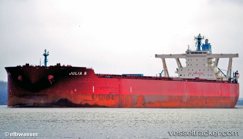
Vessel Julia N IMO: 9479369, MMSI: 636014332 Ore Carrier
UTC, 33.26662, 123.89411, course: 359, speed: 10.6
UTC, 33.39250, 123.83607, course: 341, speed: 9.1
2026-01-27 00:08:35 UTC, 33.88498, 123.82716, course: 350, speed: 10.4
Live AIS position:
UTC. 63 nm W of Gageohyangri),
updated 2026-01-27 00:08:35 UTC.
Find the position of the vessel Julia N on the map. The latter are known coordinates and path.
marine traffic ship tracker show on live map
The current position of vessel Julia N is 33.88498 lat / 123.82716 lng. Updated: 2026-01-27 00:08:35 UTCDetails:
Last coordinates of the vessel:
UTC, 32.78670, 123.95693, course: 352, speed: 10.3UTC, 33.26662, 123.89411, course: 359, speed: 10.6
UTC, 33.39250, 123.83607, course: 341, speed: 9.1
2026-01-27 00:08:35 UTC, 33.88498, 123.82716, course: 350, speed: 10.4