 vesseltracker.com
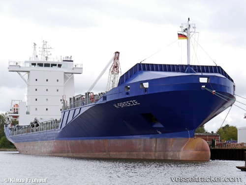
Vessel K breeze IMO: 9389423, MMSI: 305291000 Container Ship
UTC, 19.49931, -87.16136, course: 352, speed: 6.6
UTC, 20.10674, -87.05345, course: 50, speed: 7.5
2026-02-01 14:03:11 UTC, 20.25627, -86.84880, course: 50, speed: 8.6
Live AIS position:
UTC. 16 nm SE of COZUMEL),
updated 2026-02-01 14:03:11 UTC.
Find the position of the vessel K breeze on the map. The latter are known coordinates and path.
marine traffic ship tracker show on live map
The current position of vessel K breeze is 20.25627 lat / -86.84880 lng. Updated: 2026-02-01 14:03:11 UTCCurrently sailing under the flag of Antigua Barbuda
K breeze built in 2008 year
Deadweight:
11181 tDetails:
Last coordinates of the vessel:
UTC, 19.49931, -87.16136, course: 352, speed: 6.6UTC, 19.49931, -87.16136, course: 352, speed: 6.6
UTC, 20.10674, -87.05345, course: 50, speed: 7.5
2026-02-01 14:03:11 UTC, 20.25627, -86.84880, course: 50, speed: 8.6