 vesseltracker.com
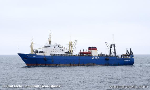
Vessel KARELIA IMO: 8908131, MMSI: 273297700 Fish Factory Ship
UTC, 54.67966, 20.15257, course: -1, speed: 0
UTC, 54.67968, 20.15256, course: -1, speed: 0.1
2026-02-05 22:24:05 UTC, 54.67971, 20.15249, course: -1, speed: 0.9
Live AIS position:
UTC. Near SVETLY),
updated 2026-02-05 22:24:05 UTC.
Find the position of the vessel KARELIA on the map. The latter are known coordinates and path.
marine traffic ship tracker show on live map
The current position of vessel KARELIA is 54.67971 lat / 20.15249 lng. Updated: 2026-02-05 22:24:05 UTCCurrently sailing under the flag of Russia
KARELIA built in 1992 year
Deadweight:
3989 tDetails:
Last coordinates of the vessel:
UTC, 54.67968, 20.15255, course: -1, speed: 0UTC, 54.67966, 20.15257, course: -1, speed: 0
UTC, 54.67968, 20.15256, course: -1, speed: 0.1
2026-02-05 22:24:05 UTC, 54.67971, 20.15249, course: -1, speed: 0.9