 vesseltracker.com
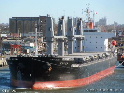
Find the position of the vessel Kerasia S on the map. The latter are known coordinates and path.
marine traffic ship tracker show on live map
The current position of vessel Kerasia S is -23.46018 lat / 6.90234 lng. Updated: 2025-10-27 01:31:05 UTCCurrently sailing under the flag of Liberia
Details:
Last coordinates of the vessel:
UTC, -23.43510, 7.44714, course: 256, speed: 10UTC, -23.44833, 7.11167, course: -1, speed: 9
UTC, -23.45152, 7.07465, course: 266, speed: 9.4
2025-10-27 01:31:05 UTC, -23.46018, 6.90234, course: 263, speed: 10