 vesseltracker.com
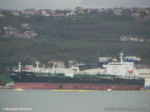
Vessel KHALASI IMO: 9293997, MMSI: 626463000 Chemical/Oil Products Tanker
Live AIS position:
UTC. Unknown location),
updated UTC.
Find the position of the vessel KHALASI on the map. The latter are known coordinates and path.
marine traffic ship tracker show on live map
Currently sailing under the flag of Gabon
KHALASI built in 2006 year
Deadweight:
40158 tDetails: