 vesseltracker.com
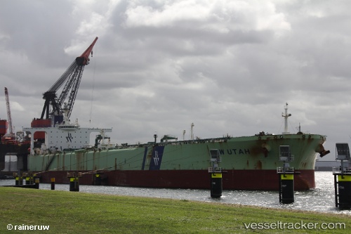
Vessel '621819063' IMO: 9221918, MMSI: 621819063
UTC, 13.09333, 113.66500, course: -1, speed: 12
UTC, 12.83967, 113.44846, course: 213, speed: 12.8
2026-02-01 06:09:02 UTC, 12.39006, 113.10784, course: 216, speed: 13
Live AIS position:
UTC. 209 nm SE of Tan Cang Qui Nhon),
updated 2026-02-01 06:09:02 UTC.
Find the position of the vessel '621819063' on the map. The latter are known coordinates and path.
marine traffic ship tracker show on live map
The current position of vessel '621819063' is 12.39006 lat / 113.10784 lng. Updated: 2026-02-01 06:09:02 UTCDetails:
Last coordinates of the vessel:
UTC, 13.38588, 113.90602, course: 214, speed: 12.4UTC, 13.09333, 113.66500, course: -1, speed: 12
UTC, 12.83967, 113.44846, course: 213, speed: 12.8
2026-02-01 06:09:02 UTC, 12.39006, 113.10784, course: 216, speed: 13