 vesseltracker.com
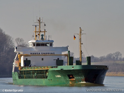
Find the position of the vessel Kaisa on the map. The latter are known coordinates and path.
marine traffic ship tracker show on live map
The current position of vessel Kaisa is 51.0909 lat / 3.75434 lng. Updated: 2025-01-23 10:27:21 UTCCurrently sailing under the flag of Malta
Kaisa built in 2005 year
Deadweight:
4527 tDetails:
Last coordinates of the vessel:
2025-01-23 10:27:21 UTC, 51.0909, 3.75434, course: 189, speed: 0Track of the vessel in the last 14 days
The ship also appears on the maps: