 vesseltracker.com
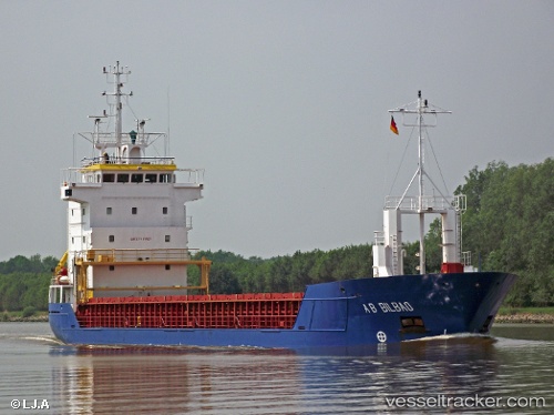
Vessel Kaja IMO: 9130200, MMSI: 229860000 Multi Purpose Carrier
Live AIS position:
UTC. Near Muuga),
updated 2025-01-21 06:45:00 UTC.
Find the position of the vessel Kaja on the map. The latter are known coordinates and path.
marine traffic ship tracker show on live map
The current position of vessel Kaja is 59.49662 lat / 24.94754 lng. Updated: 2025-01-21 06:45:00 UTCCurrently sailing under the flag of Malta
Kaja built in 1997 year
Deadweight:
4210 tDetails:
Last coordinates of the vessel:
2025-01-21 06:45:00 UTC, 59.49662, 24.94754, course: 40, speed: 0