 vesseltracker.com
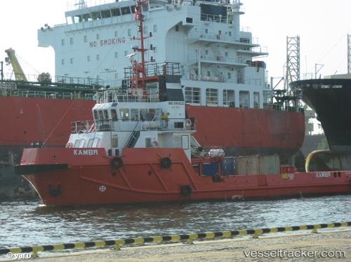
Vessel Kambr IMO: 9348223, MMSI: 210550000 Tug
UTC, 54.36542, 18.64925, course: 131, speed: 0
UTC, 54.36542, 18.64925, course: 131, speed: 0
2026-01-28 14:40:16 UTC, 54.36542, 18.64925, course: 131, speed: 0
Live AIS position:
UTC. Near Gdansk),
updated 2026-01-28 14:40:16 UTC.
Find the position of the vessel Kambr on the map. The latter are known coordinates and path.
marine traffic ship tracker show on live map
The current position of vessel Kambr is 54.36542 lat / 18.64925 lng. Updated: 2026-01-28 14:40:16 UTCCurrently sailing under the flag of Cyprus
Kambr built in 2005 year
Details:
Last coordinates of the vessel:
UTC, 54.36550, 18.64918, course: 132, speed: 0UTC, 54.36542, 18.64925, course: 131, speed: 0
UTC, 54.36542, 18.64925, course: 131, speed: 0
2026-01-28 14:40:16 UTC, 54.36542, 18.64925, course: 131, speed: 0