 vesseltracker.com
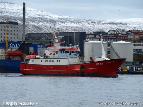
Vessel Kambur IMO: 8603987, MMSI: 231156000 Fish Carrier
UTC, 62.01566, -8.09256, course: 98, speed: 2.9
UTC, 62.02456, -7.95856, course: 155, speed: 2.9
2026-01-30 05:19:45 UTC, 62.01893, -8.10283, course: 265, speed: 7.1
Live AIS position:
UTC. 23 nm W of Sorvagur),
updated 2026-01-30 05:19:45 UTC.
Find the position of the vessel Kambur on the map. The latter are known coordinates and path.
marine traffic ship tracker show on live map
The current position of vessel Kambur is 62.01893 lat / -8.10283 lng. Updated: 2026-01-30 05:19:45 UTCDetails:
Last coordinates of the vessel:
UTC, 61.98798, -8.04312, course: 211, speed: 2.2UTC, 62.01566, -8.09256, course: 98, speed: 2.9
UTC, 62.02456, -7.95856, course: 155, speed: 2.9
2026-01-30 05:19:45 UTC, 62.01893, -8.10283, course: 265, speed: 7.1