 vesseltracker.com
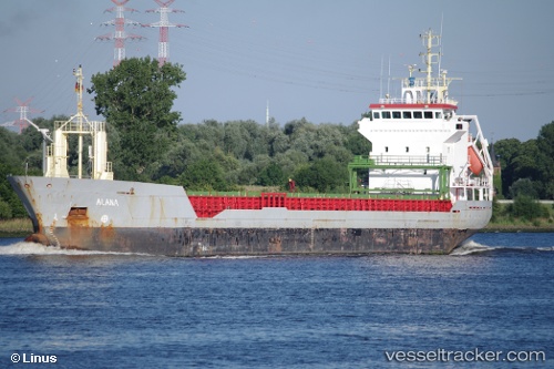
Vessel Kamelia IMO: 9188958, MMSI: 229245000 Multi Purpose Carrier
UTC, 53.73364, -0.35038, course: 245, speed: 0
UTC, 53.73358, -0.35038, course: 243, speed: 0
2026-01-28 23:32:02 UTC, 53.73583, -0.34460, course: 246, speed: 1.3
Live AIS position:
UTC. Near Hull),
updated 2026-01-28 23:32:02 UTC.
Find the position of the vessel Kamelia on the map. The latter are known coordinates and path.
marine traffic ship tracker show on live map
The current position of vessel Kamelia is 53.73583 lat / -0.34460 lng. Updated: 2026-01-28 23:32:02 UTCCurrently sailing under the flag of Malta
Kamelia built in 1999 year
Deadweight:
5049 tDetails:
Last coordinates of the vessel:
UTC, 53.73360, -0.35041, course: 245, speed: 0UTC, 53.73364, -0.35038, course: 245, speed: 0
UTC, 53.73358, -0.35038, course: 243, speed: 0
2026-01-28 23:32:02 UTC, 53.73583, -0.34460, course: 246, speed: 1.3