 vesseltracker.com
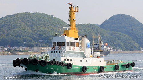
Vessel Kandamaru IMO: 8864270, MMSI: 431300352 Tug
Live AIS position:
UTC. 286 nm NE of Enderbury Island),
updated 2025-12-26 23:50:06 UTC.
Find the position of the vessel Kandamaru on the map. The latter are known coordinates and path.
marine traffic ship tracker show on live map
The current position of vessel Kandamaru is 0.00075 lat / -167.50932 lng. Updated: 2025-12-26 23:50:06 UTCDetails:
Last coordinates of the vessel:
2025-12-26 23:50:06 UTC, 0.00075, -167.50932, course: 2, speed: 2.4