 vesseltracker.com
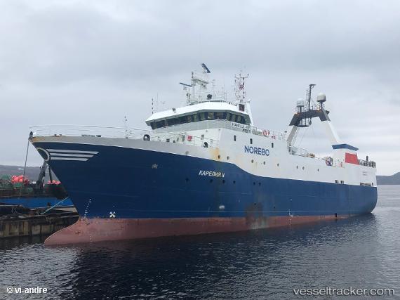
Vessel Kareliaii IMO: 8706038, MMSI: 273425330 Fishing Vessel
UTC, 69.02669, 33.06319, course: 127, speed: 0.1
UTC, 69.02669, 33.06319, course: 127, speed: 0.1
2026-01-31 12:27:25 UTC, 69.02669, 33.06319, course: 127, speed: 0.1
Live AIS position:
UTC. Near Murmansk),
updated 2026-01-31 12:27:25 UTC.
Find the position of the vessel Kareliaii on the map. The latter are known coordinates and path.
marine traffic ship tracker show on live map
The current position of vessel Kareliaii is 69.02669 lat / 33.06319 lng. Updated: 2026-01-31 12:27:25 UTCCurrently sailing under the flag of Russia
Kareliaii built in 1988 year
Deadweight:
1206 tDetails:
Last coordinates of the vessel:
UTC, 69.02666, 33.06310, course: 127, speed: 0UTC, 69.02669, 33.06319, course: 127, speed: 0.1
UTC, 69.02669, 33.06319, course: 127, speed: 0.1
2026-01-31 12:27:25 UTC, 69.02669, 33.06319, course: 127, speed: 0.1