 vesseltracker.com
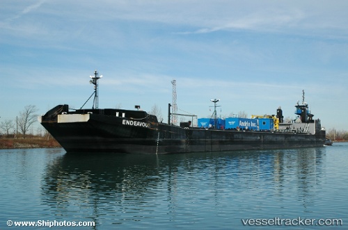
Vessel Karen Andrie IMO: 6520454, MMSI: 366937150 Tug
UTC, 41.64894, -87.46759, course: 46, speed: 0
UTC, 41.64896, -87.46763, course: 45, speed: 0
2026-01-27 04:19:21 UTC, 41.64901, -87.46762, course: 45, speed: 0
Live AIS position:
UTC. Near Whiting),
updated 2026-01-27 04:19:21 UTC.
Find the position of the vessel Karen Andrie on the map. The latter are known coordinates and path.
marine traffic ship tracker show on live map
The current position of vessel Karen Andrie is 41.64901 lat / -87.46762 lng. Updated: 2026-01-27 04:19:21 UTCDetails:
Last coordinates of the vessel:
UTC, 41.64899, -87.46755, course: 46, speed: 0UTC, 41.64894, -87.46759, course: 46, speed: 0
UTC, 41.64896, -87.46763, course: 45, speed: 0
2026-01-27 04:19:21 UTC, 41.64901, -87.46762, course: 45, speed: 0