 vesseltracker.com
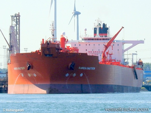
Vessel Karen Knutsen IMO: 9169615, MMSI: 235808000 Crude Oil Tanker
Live AIS position:
UTC. Near Mumbai),
updated 2025-03-10 00:30:58 UTC.
Find the position of the vessel Karen Knutsen on the map. The latter are known coordinates and path.
marine traffic ship tracker show on live map
The current position of vessel Karen Knutsen is 18.92785 lat / 72.84010 lng. Updated: 2025-03-10 00:30:58 UTCDetails:
Last coordinates of the vessel:
2025-03-10 00:30:58 UTC, 18.92785, 72.84010, course: 67, speed: 0.1