 vesseltracker.com
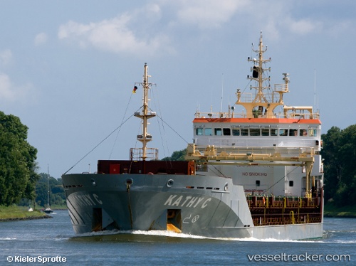
Find the position of the vessel Kathy C on the map. The latter are known coordinates and path.
marine traffic ship tracker show on live map
The current position of vessel Kathy C is 35.85500 lat / -0.30333 lng. Updated: 2025-10-19 04:26:37 UTCCurrently sailing under the flag of United Kingdom
Kathy C built in 2010 year
Deadweight:
6750 tDetails:
Last coordinates of the vessel:
UTC, 35.85500, -0.30333, course: -1, speed: 0UTC, 35.85476, -0.30359, course: 170, speed: 0
UTC, 35.85500, -0.30333, course: -1, speed: 0
2025-10-19 04:26:37 UTC, 35.85500, -0.30333, course: -1, speed: 0