 vesseltracker.com
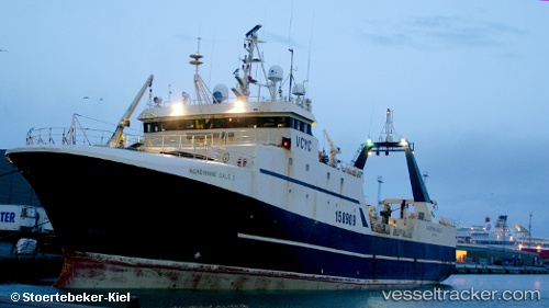
Vessel Kem IMO: 8413370, MMSI: 273439910 Fishing Vessel
UTC, 76.25463, 38.40073, course: 133, speed: 2.5
UTC, 76.22820, 38.57189, course: 137, speed: 3.1
2026-03-02 19:45:54 UTC, 76.16329, 38.86416, course: 158, speed: 2.3
Live AIS position:
UTC. 195 nm E of Hopen),
updated 2026-03-02 19:45:54 UTC.
Find the position of the vessel Kem on the map. The latter are known coordinates and path.
marine traffic ship tracker show on live map
The current position of vessel Kem is 76.16329 lat / 38.86416 lng. Updated: 2026-03-02 19:45:54 UTCDetails:
Last coordinates of the vessel:
UTC, 76.19467, 38.38378, course: 353, speed: 3.1UTC, 76.25463, 38.40073, course: 133, speed: 2.5
UTC, 76.22820, 38.57189, course: 137, speed: 3.1
2026-03-02 19:45:54 UTC, 76.16329, 38.86416, course: 158, speed: 2.3