 vesseltracker.com
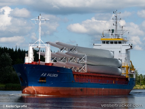
Vessel Kerli IMO: 9125695, MMSI: 229849000 Multi Purpose Carrier
Live AIS position:
UTC. Near Cimdenieki),
updated 2025-03-06 09:21:28 UTC.
Find the position of the vessel Kerli on the map. The latter are known coordinates and path.
marine traffic ship tracker show on live map
The current position of vessel Kerli is 56.54315 lat / 21.04272 lng. Updated: 2025-03-06 09:21:28 UTCCurrently sailing under the flag of Malta
Kerli built in 1997 year
Deadweight:
4211 tDetails:
Last coordinates of the vessel:
2025-03-06 09:21:28 UTC, 56.54315, 21.04272, course: 6, speed: 0