 vesseltracker.com
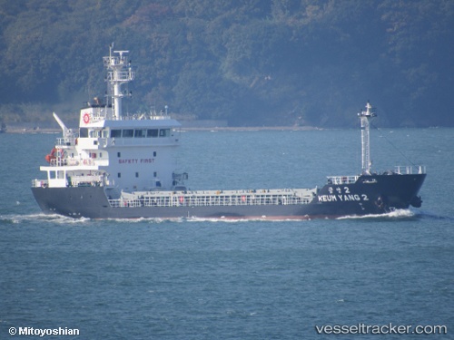
Vessel Keum Yang 2 IMO: 9793313, MMSI: 440711000 General Cargo Ship
Live AIS position:
UTC. Unknown location),
updated UTC.
Find the position of the vessel Keum Yang 2 on the map. The latter are known coordinates and path.
marine traffic ship tracker show on live map
Currently sailing under the flag of Korea
Details: