 vesseltracker.com
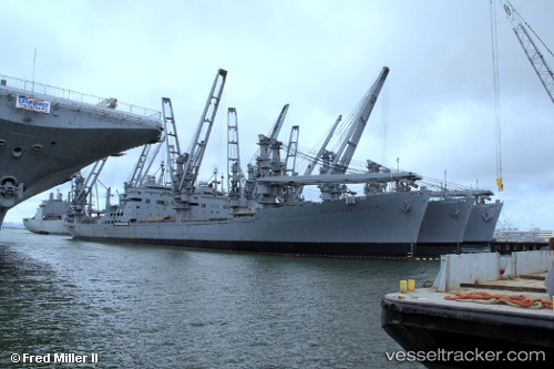
Find the position of the vessel Keystone State on the map. The latter are known coordinates and path.
marine traffic ship tracker show on live map
The current position of vessel Keystone State is 37.82138 lat / -122.30976 lng. Updated: 2025-11-04 17:35:15 UTCCurrently sailing under the flag of USA
Keystone State built in 1966 year
Deadweight:
17782 tDetails:
Last coordinates of the vessel:
UTC, 37.82147, -122.30976, course: 109, speed: 0UTC, 37.82140, -122.30975, course: 109, speed: 0
UTC, 37.82135, -122.30972, course: 109, speed: 0
2025-11-04 17:35:15 UTC, 37.82138, -122.30976, course: 109, speed: 0