 vesseltracker.com
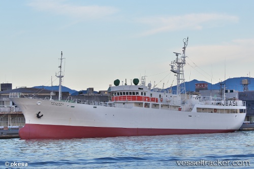
Vessel Kineimaru No53 IMO: 9189031, MMSI: 431380000 Fishing Vessel
UTC, -25.80800, 158.50768, course: 120, speed: 2.2
UTC, -25.85250, 158.64117, course: 113, speed: 6.7
2026-03-10 07:28:19 UTC, -25.88567, 158.80333, course: 82, speed: 0.4
Live Vessel Kineimaru No53 Analytics (details, animations, etc.)
Live AIS position: UTC. 294 nm E of Beerwah), updated 2026-03-10 07:28:19 UTC.Find the position of the vessel Kineimaru No53 on the map. The latter are known coordinates and path.
marine traffic ship tracker show on live map
The current position of vessel Kineimaru No53 is -25.88567 lat / 158.80333 lng. Updated: 2026-03-10 07:28:19 UTCDetails:
Last coordinates of the vessel:
UTC, -25.76450, 158.39000, course: 115, speed: 5UTC, -25.80800, 158.50768, course: 120, speed: 2.2
UTC, -25.85250, 158.64117, course: 113, speed: 6.7
2026-03-10 07:28:19 UTC, -25.88567, 158.80333, course: 82, speed: 0.4