 vesseltracker.com
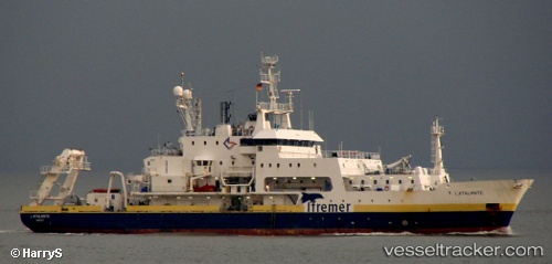
Vessel L ATALANTE IMO: 8716071, MMSI: 227222000 Research Vessel
UTC, 43.10567, 5.88483, course: 138, speed: 0
UTC, 43.10567, 5.88483, course: 138, speed: 0
2026-02-18 21:50:14 UTC, 43.10567, 5.88483, course: 138, speed: 0
Live AIS position:
UTC. Near LA SEYNE-SUR-MER),
updated 2026-02-18 21:50:14 UTC.
Find the position of the vessel L ATALANTE on the map. The latter are known coordinates and path.
marine traffic ship tracker show on live map
The current position of vessel L ATALANTE is 43.10567 lat / 5.88483 lng. Updated: 2026-02-18 21:50:14 UTCCurrently sailing under the flag of France
L ATALANTE built in 1990 year
Deadweight:
1200 tDetails:
Last coordinates of the vessel:
UTC, 43.10568, 5.88485, course: 137, speed: 0UTC, 43.10567, 5.88483, course: 138, speed: 0
UTC, 43.10567, 5.88483, course: 138, speed: 0
2026-02-18 21:50:14 UTC, 43.10567, 5.88483, course: 138, speed: 0