 vesseltracker.com
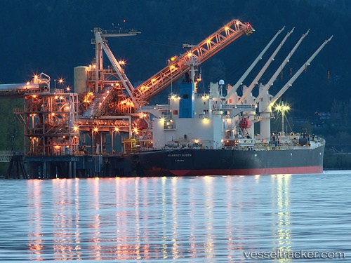
Vessel LAGO DI NEMI IMO: 9303869, MMSI: 636093199 Bulk Carrier
UTC, 51.93118, 1.40330, course: 264, speed: 5
2026-02-16 23:43:59 UTC, 51.93118, 1.40330, course: 264, speed: 5
Live AIS position:
UTC. Near Felixstowe),
updated 2026-02-16 23:43:59 UTC.
Find the position of the vessel LAGO DI NEMI on the map. The latter are known coordinates and path.
marine traffic ship tracker show on live map
The current position of vessel LAGO DI NEMI is 51.93118 lat / 1.40330 lng. Updated: 2026-02-16 23:43:59 UTCCurrently sailing under the flag of Liberia
LAGO DI NEMI built in 2006 year
Deadweight:
46412 tDetails:
Last coordinates of the vessel:
UTC, 51.93118, 1.40330, course: 264, speed: 5UTC, 51.93118, 1.40330, course: 264, speed: 5
2026-02-16 23:43:59 UTC, 51.93118, 1.40330, course: 264, speed: 5