 vesseltracker.com
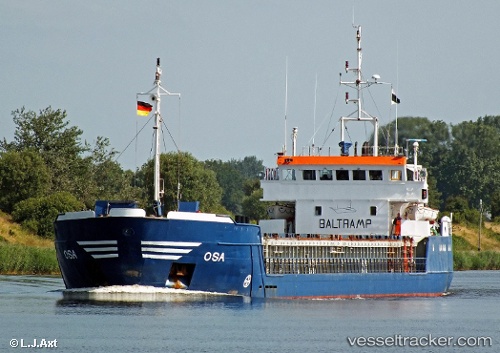
Vessel LAHTA IMO: 8420086, MMSI: 613744000 General Cargo Ship
UTC, 34.37605, 34.93205, course: 191, speed: 8.9
UTC, 34.09253, 34.89807, course: 186, speed: 8.8
2026-02-22 00:24:02 UTC, 34.02895, 34.89297, course: 187, speed: 8.9
Live AIS position:
UTC. 30 nm W of Raouché),
updated 2026-02-22 00:24:02 UTC.
Find the position of the vessel LAHTA on the map. The latter are known coordinates and path.
marine traffic ship tracker show on live map
The current position of vessel LAHTA is 34.02895 lat / 34.89297 lng. Updated: 2026-02-22 00:24:02 UTCCurrently sailing under the flag of Cameroon
LAHTA built in 1985 year
Deadweight:
2507 tDetails:
Last coordinates of the vessel:
UTC, 34.85498, 34.98862, course: 193, speed: 8.7UTC, 34.37605, 34.93205, course: 191, speed: 8.9
UTC, 34.09253, 34.89807, course: 186, speed: 8.8
2026-02-22 00:24:02 UTC, 34.02895, 34.89297, course: 187, speed: 8.9