 vesseltracker.com
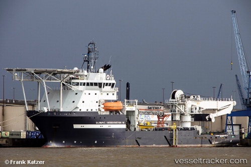
Vessel LAMANTIN IMO: 9396854, MMSI: 273299220 Offshore Support Vessel
UTC, 33.78213, 128.52388, course: 32, speed: 7.3
UTC, 33.96035, 128.71931, course: 40, speed: 7.5
2026-02-22 13:59:27 UTC, 34.19769, 128.89742, course: 9, speed: 6.2
Live AIS position:
UTC. 20 nm W of IZUHARA),
updated 2026-02-22 13:59:27 UTC.
Find the position of the vessel LAMANTIN on the map. The latter are known coordinates and path.
marine traffic ship tracker show on live map
The current position of vessel LAMANTIN is 34.19769 lat / 128.89742 lng. Updated: 2026-02-22 13:59:27 UTCCurrently sailing under the flag of Russia
LAMANTIN built in 2008 year
Deadweight:
4195 tDetails:
Last coordinates of the vessel:
UTC, 33.67321, 128.41656, course: 32, speed: 7.3UTC, 33.78213, 128.52388, course: 32, speed: 7.3
UTC, 33.96035, 128.71931, course: 40, speed: 7.5
2026-02-22 13:59:27 UTC, 34.19769, 128.89742, course: 9, speed: 6.2