 vesseltracker.com
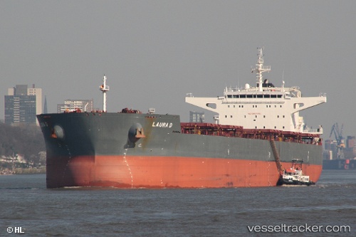
Vessel LAURA D IMO: 9589633, MMSI: 255915640 Cargo
UTC, -9.85971, 151.66371, course: 341, speed: 8.1
UTC, -9.65764, 151.59064, course: 343, speed: 7.5
2026-02-27 00:17:18 UTC, -9.36611, 151.48795, course: 346, speed: 7.4
Live AIS position:
UTC. 38 nm SW of Gawa Island),
updated 2026-02-27 00:17:18 UTC.
Find the position of the vessel LAURA D on the map. The latter are known coordinates and path.
marine traffic ship tracker show on live map
The current position of vessel LAURA D is -9.36611 lat / 151.48795 lng. Updated: 2026-02-27 00:17:18 UTCCurrently sailing under the flag of Portugal
Details:
Last coordinates of the vessel:
UTC, -10.10606, 151.74516, course: 347, speed: 8.2UTC, -9.85971, 151.66371, course: 341, speed: 8.1
UTC, -9.65764, 151.59064, course: 343, speed: 7.5
2026-02-27 00:17:18 UTC, -9.36611, 151.48795, course: 346, speed: 7.4