 vesseltracker.com
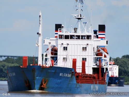
Vessel LUCY J IMO: 7810208, MMSI: 334019000 General Cargo Ship
UTC, 44.92353, 29.81374, course: 188, speed: 9.3
UTC, 44.61569, 29.75478, course: 185, speed: 9.5
UTC, 44.61569, 29.75478, course: 185, speed: 9.5
2026-02-23 23:32:46 UTC, 44.61569, 29.75478, course: 185, speed: 9.5
Live AIS position:
UTC. 32 nm S of Sulina (Port et Zone Franche)),
updated 2026-02-23 23:32:46 UTC.
Find the position of the vessel LUCY J on the map. The latter are known coordinates and path.
marine traffic ship tracker show on live map
The current position of vessel LUCY J is 44.61569 lat / 29.75478 lng. Updated: 2026-02-23 23:32:46 UTCCurrently sailing under the flag of Honduras
LUCY J built in 1979 year
Deadweight:
6105 tDetails:
Last coordinates of the vessel:
UTC, 45.13806, 29.85550, course: 186, speed: 9.5UTC, 44.92353, 29.81374, course: 188, speed: 9.3
UTC, 44.61569, 29.75478, course: 185, speed: 9.5
UTC, 44.61569, 29.75478, course: 185, speed: 9.5
2026-02-23 23:32:46 UTC, 44.61569, 29.75478, course: 185, speed: 9.5