 vesseltracker.com
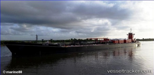
Vessel LYNNE M ROSE IMO: 9753179, MMSI: 368261750 Spare - Local Vessel
UTC, 17.80297, -102.97247, course: 294, speed: 9.8
UTC, 17.97333, -103.35167, course: -1, speed: 9
2026-02-26 04:18:46 UTC, 18.16976, -103.73757, course: 302, speed: 10.1
Live AIS position:
UTC. 30 nm S of El Ranchito),
updated 2026-02-26 04:18:46 UTC.
Find the position of the vessel LYNNE M ROSE on the map. The latter are known coordinates and path.
marine traffic ship tracker show on live map
The current position of vessel LYNNE M ROSE is 18.16976 lat / -103.73757 lng. Updated: 2026-02-26 04:18:46 UTCCurrently sailing under the flag of United States
Details:
Last coordinates of the vessel:
UTC, 17.70500, -102.75833, course: -1, speed: 9UTC, 17.80297, -102.97247, course: 294, speed: 9.8
UTC, 17.97333, -103.35167, course: -1, speed: 9
2026-02-26 04:18:46 UTC, 18.16976, -103.73757, course: 302, speed: 10.1