 vesseltracker.com
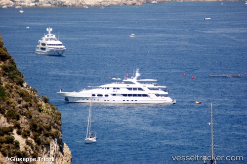
Vessel Lady Joy IMO: 9439010, MMSI: 538080044 Service Ship
UTC, 25.07801, -77.32879, course: 104, speed: 0
UTC, 25.07802, -77.32880, course: 104, speed: 0
2026-02-21 16:34:38 UTC, 25.07802, -77.32877, course: 104, speed: 0
Live AIS position:
UTC. Near Nassau),
updated 2026-02-21 16:34:38 UTC.
Find the position of the vessel Lady Joy on the map. The latter are known coordinates and path.
marine traffic ship tracker show on live map
The current position of vessel Lady Joy is 25.07802 lat / -77.32877 lng. Updated: 2026-02-21 16:34:38 UTCCurrently sailing under the flag of Marshall Is
Lady Joy built in 2007 year
Deadweight:
94 tDetails:
Last coordinates of the vessel:
UTC, 25.07802, -77.32879, course: 104, speed: 0UTC, 25.07801, -77.32879, course: 104, speed: 0
UTC, 25.07802, -77.32880, course: 104, speed: 0
2026-02-21 16:34:38 UTC, 25.07802, -77.32877, course: 104, speed: 0